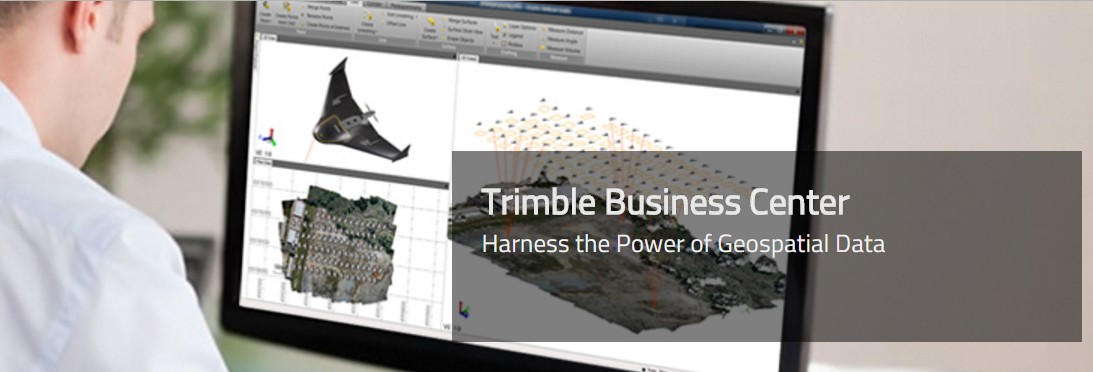
Trimble Business Center

A Powerful Geospatial Data Office Software Suite
Trimble Business Center provides users with the capability to efficiently edit, process, and adjust geospatial data and create deliverables with confidence.
Trimble Business Center common workflows:
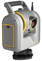
Control Surveying: Confidently produce reliable control coordinates combining total station, level and GNSS data in robust network adjustment
Field to Finish: Easily create CAD-ready deliverables directly from survey data.
GIS Feature Collection: Expand the utilization of your survey systems by creating GIS deliverables for your clients.
Construction Staking: Prepare design data for stakout with Trimble Access or Machine Control and verify as-staked information with ease
Integrated Aerial and Terrestrial Photogrammetry: Process complete mapping projects that include UAS and Trimble VISION imagery, GNSS and total optical observations.
For more information on the Editions and Modules, click here.


